
Agricultural Land Encroachment Detection
A YOLOv8-based monitoring workflow that detects buildings and farmland from satellite imagery, then uses decision logic to flag possible encroachment cases.
Problem
Monitoring agricultural land manually is time-consuming and makes it difficult to react quickly to possible violations visible in satellite imagery.
My Role
Built the detection workflow, decision logic and desktop monitoring concept, including visual output, SQLite record storage, GPS-linked data and Text-to-Speech alerts.
Tools
- Python
- YOLOv8 / Ultralytics
- OpenCV
- SQLite
- CustomTkinter
- Text-to-Speech
- GPS-linked logging
Dataset / Inputs
Satellite images collected from Google Earth, labeled for building and farmland classes. Training included mosaic, flipping and scaling augmentation.
Results
Evaluation reported mAP@0.5 = 77.6%, precision ≈ 80% and recall ≈ 59%. The system adds a decision layer: building + farmland = possible encroachment.
Challenges
Working with satellite-image variation, class overlap and producing a decision workflow that goes beyond drawing detection boxes.
Demo & Screenshots
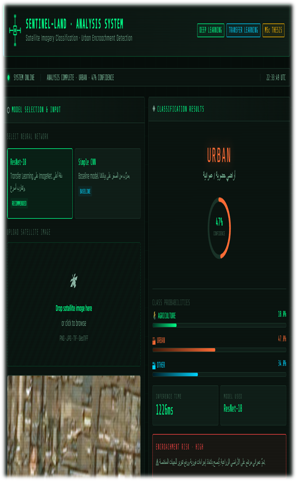
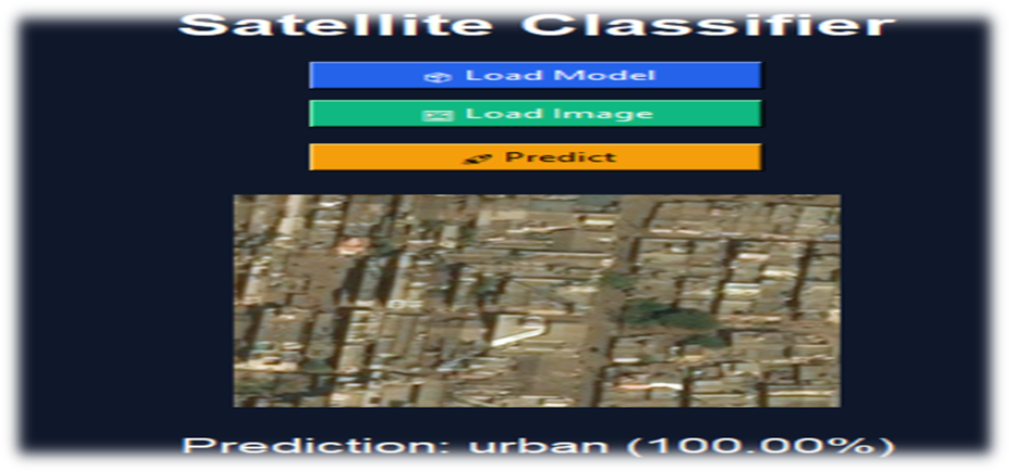
GitHub
Repository status: Private / available upon request. The public GitHub profile is linked below. For a walkthrough, code discussion, screenshots or a demo, contact me directly on WhatsApp.